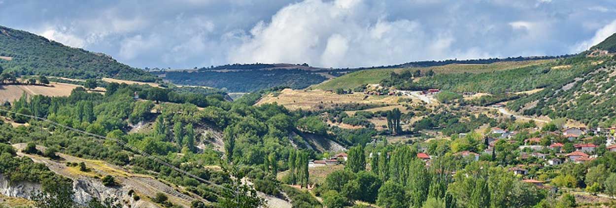
By combining Sentinel-1 and Sentinel-2 satellite data in rapid and automated processes in ERDAS IMAGINE, a synergistic landslide detection framework is demonstrated. Then, several change detection algorithms in ERDAS IMAGINE are used to analyze that data and easily create a visual representation of the activity surrounding the Amyntaio mine landslide in Greece. Rapid and reliable conclusions can be extracted for decision-making and risk monitoring for mines and other landscapes.
Learn more by downloading the white paper.

