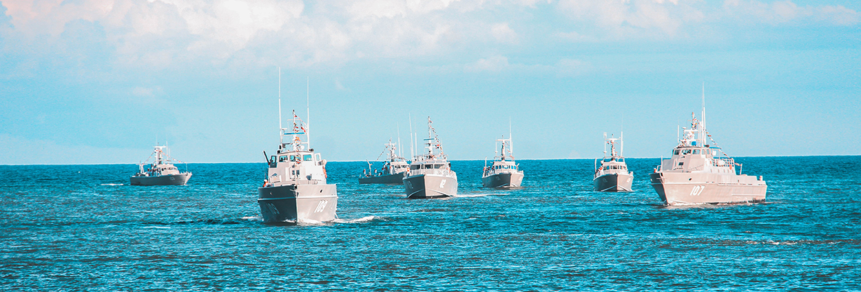
While the sea is vital to the European economy, it can also be a haven for criminals and terrorists. Maritime accidents and disasters are also concerns. The most important way to cost-effectively enhance security and safety at sea is to cooperate at national and international levels. Enter the Maritime Integrated Surveillance Awareness (MARISA) initiative. With 22 partners from nine European countries working together to develop the solution, MARISA helps coast guard organisations monitor the situation at sea.
The MARISA toolkit leverages the power of individual source data such as satellite imagery, vessel automatic identification system (AIS) data or open-source intelligence (OSINT). It can also integrate advanced services that analyse those sources to create correlated information. That’s when the machine can go much faster than the human and helps with repetitive analysis tasks.
Having the data is important, but presenting it with high accuracy in a professional layout to operators who need the right level of information at the right time allows them to make the best decisions.
Hexagon's geospatial technology powers the user interface to support visualisation of large volumes of data and provide easy and optimised operator interaction.

