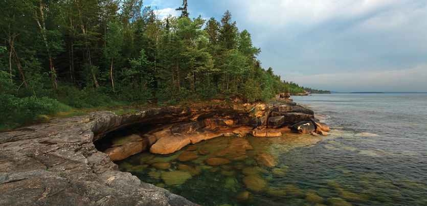
Mapping the Coastal Wetland in the Hiawatha National Forest Using UAS Imagery
Parth Bhatt, Master's Student/Research Assistant at Michigan Technological University, won an honorable mention award in the HxGN LIVE 2018 Geospatial Education Contest. Parth used ERDAS IMAGINE for post processing UAV imagery to map coastal wetlands on the Hiawatha National Forest. ERDAS IMAGINE was used to classify the imagery, convert to IHS, as well as to do Texture Analysis to identify features of interest, such as phragmites. Even further analysis was done with the IMAGINE’s Knowledge Engineer and Knowledge Classifier to bring in additional variables and extract an even more accurate classification. Parth’s work is an excellent example of how ERDAS IMAGINE’s powerful remote sensing capabilities can be used to better understand our changing world.
Watch the webcast to learn more about how Parth is using Hexagon Geospatial technology in his research.

