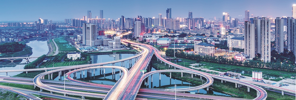
Smart monitoring and planning using digital image processing
Imagery analysts have an overabundance of data to analyze due to the use of more and more sensors. Their challenge is not better data, but getting better intelligence from data… fast. Monitoring transportation infrastructure and planning road projects to reduce costs and minimize environmental impacts need to be easier and more effective. Digital image processing can help by detecting change and automatically classifying images.

