Download our white paper today
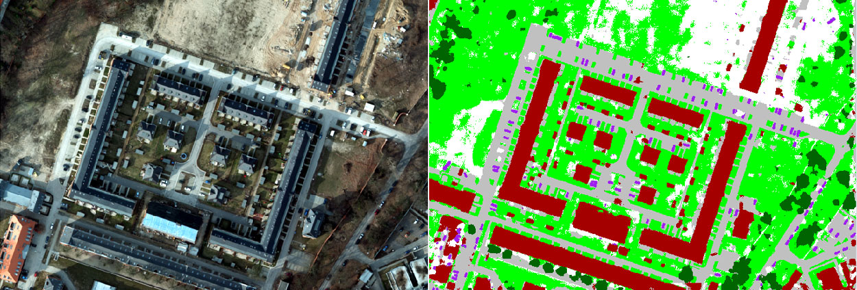
Identifying and analysing footprints of buildings in aerial and satellite data is an important first step in many applications, including updating maps, modelling cities, analysing urban growth and monitoring informal settlements. But manually identifying and collecting information about buildings from single or stereo imagery is very tedious and costly. Automatic building detection methods can help solve this problem — especially deep learning (DL)-based classification methods.
Several DL-based classification and object detection methods have been implemented in ERDAS IMAGINE, which reduces the need for expert users and is highly accurate. The ease and flexibility of semantic segmentation make it a valuable tool in the process of building extraction.
Download the white paper to learn more.

