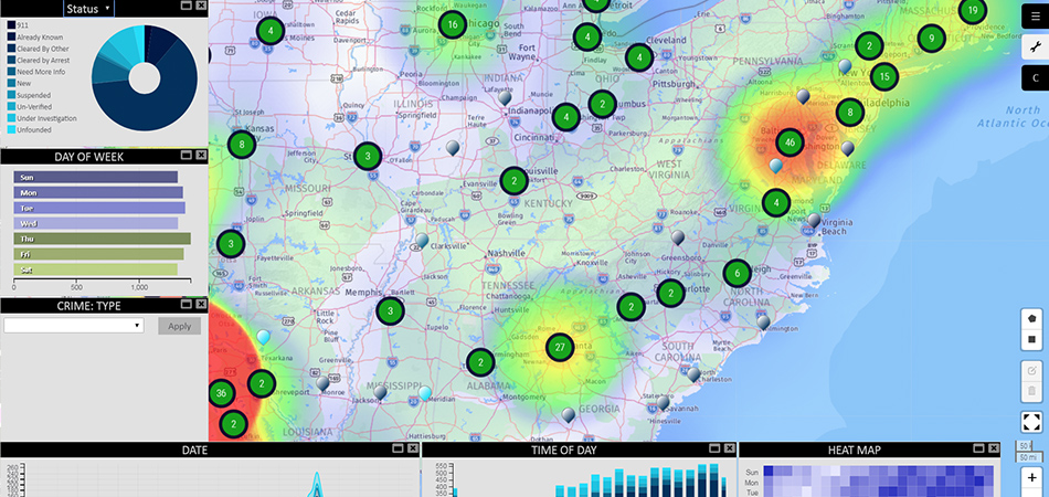
Are you an educator interested in making geography lessons more fun and interesting for your students? In this one-hour webcast you will learn about the exciting map-building technology that can enhance your students' learning experience.
Geography and the use of location-based information is critical to the continued development of modern social technologies such as smartphones and autonomous vehicles. Applications around this science continue to grow exponentially each year. At Hexagon Geospatial, we understand the importance of knowledge, growth and challenges, but we also recognize that empowering students (and other non-experts) to build applications should be simple and engaging.
Watch this webcast to see how to use a simple, intuitive app to display your data and its attributes via interactive graphs, widgets and charts. These tools will help you and your students make sense of complex data while navigating through and interactive and dynamic map. With this app, you can build and present statistics about your school campus, the local student body and activities in the community. You can even use the app to turn geography into a fun game. Gaining insight from our location-based data has never been so easy!

