Dynamics with Panoramics
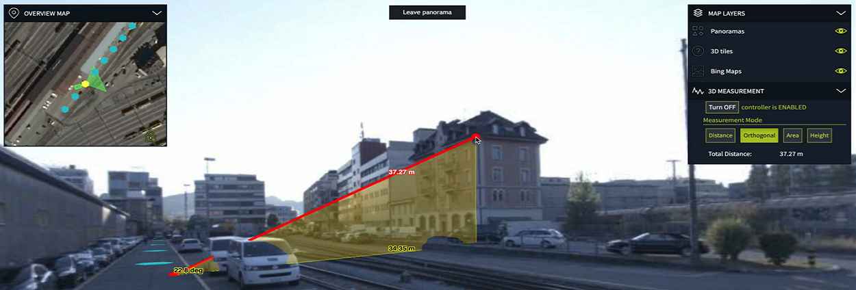
Panoramic imagery immerses viewers in a way no other medium can. It puts observers in control of what they want to look at within an image, allowing them to see anywhere — up, down, left, right, or behind. The LuciadRIA 2020.1 release brings support for 360° panoramic images. These can be served by LuciadFusion via a standard protocol and are brought into the 3D view as another information layer with no plugin or separate view panel. You can fully integrate panoramic images with any other information present in your 3D view. As a result, you can see buses moving though the street, get status updates of critical infrastructure items, and even combine panoramic imagery with other 3D datasets like terrain elevation, 3D models, and point clouds.
In this webinar you’ll see how to:
- Transition smoothly between different 360° panoramic images while navigating around in an area with multiple 360° captures
- Accurately measure objects in real 3D
- Combine multiple panoramic data sources and other 3D data sources into a single coherent application
- Overlay georeferenced 3D data on top of panoramic images to get better situational insight
- Augment panoramic data with live data
Watch our webcast to witness a full 3D immersive experience!
Speaker:
Daniel Balog, R&D Director, Luciad

