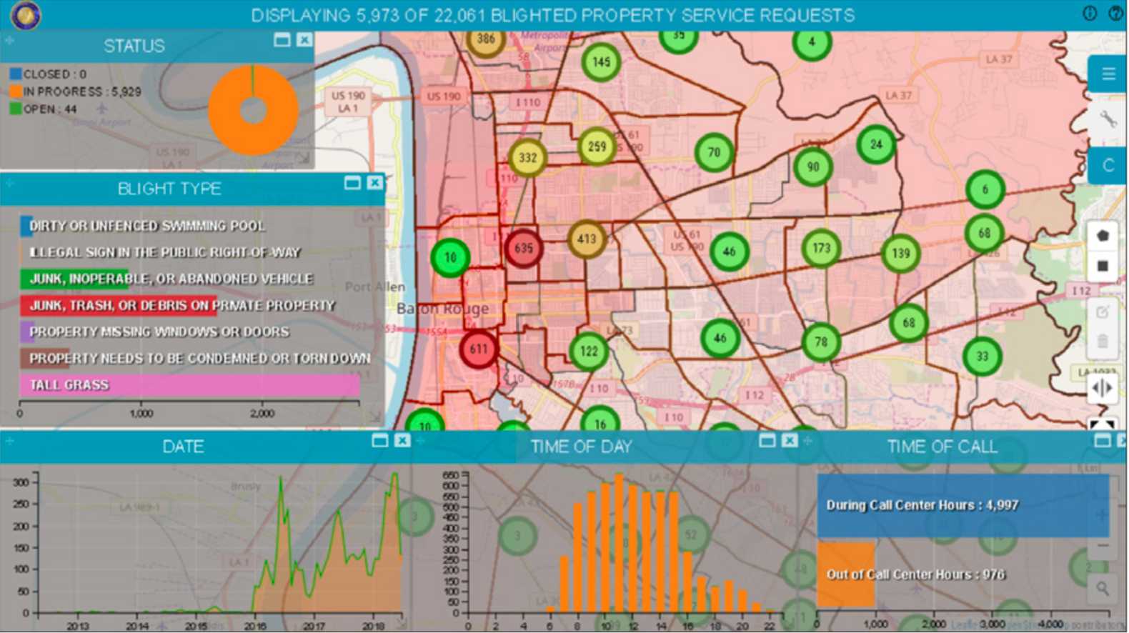
Discover How Baton Rouge is Becoming a Safer City with Smart M.Apps
Smart M.Apps are enabling the City of Baton Rouge to drive decisions based on data with compelling location-based visualization and analysis tools. The various departments have access to all relevant geospatial as well as business data, without requiring their users to be GIS experts to view and analyze data in a map.
Watch this webcast to see:
- How Smart M.Apps are being used by the City of Baton Rouge
- The business drivers and benefits of Smart M.Apps at Baton Rouge
- How easy it is to configure Smart M.Apps for different analytics

